Welcome to the Atlantic ICW Kayak Expedition
I will be traveling the Atlantic Intracoastal Waterway to Norfolk, VA then by Chesapeake Bay, then by Delaware, Hudson and Richelieu Rivers to the St. Lawrence River. This route is more interesting geographically and pictorially. There are also a lot more facilities available. Entry would be in Savannah, GA at Fields Cut and travel north to the Canadian border.
Atlantic ICW Edition
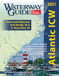 Atlantic Intracoastal Waterway.
The charts are also
available online. Zooming in will show more detail i.e. this
section shows
Beaufort and
this
Hilton Head Island, SC.
Northern Edition
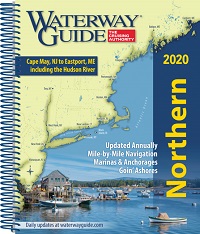 Northern coast from Cape May through Maine, as well as the Hudson River, Long Island Sound and Cape Cod Bay.
You can travel from
New York to Canada along the Hudson River, the
Champlain Canal, and the Richelieu river
to join the St. Lawrence river at Sorel-Tracy.
Safety equipment
Being aware of the other users of the river (power boats, barges, possibly even sea-going ships [if you are below Baton Rouge]).
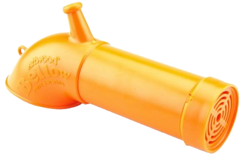 Lung-powered Air Horn that meets Coast Guard Rule 33 (Annex III).
Klaxon (if you prefer a cartridge powered device), flares, Personal Floatation Devices (PFD).
 Cobra MR HH125 Handheld VHF Radio. Marine VHF radio. Access all NOAA weather channels, weather alerts, and two-way communications
(28-mile range).
Distress calls are made on VHF-FM channel 16 (MAYDAY—from the French m'aidez [help me]). For less serious situations than warrant the distress procedure, the radiotelephone urgency signal consisting of three repetitions of the word PAN-PAN (pronounced PAHN-PAHN—from the French panne [breakdown]), or the safety signal SECURITE (pronounced SECURITAY—from the French sécurité [safety]) spoken three times, are used as appropriate. For complete information on emergency radio procedures, see
47 CFR 80 or Radio Navigational Aids
Publication 117.
First Aid
Tourniquet or Israeli Bandage, Clotting pads, splints, band aids, wound cleaning solution, lint-free gauze pads, bandages of all sizes. Getting to a doctor may be problematic so keep a supply of amoxicillin (Fish-Mox can be bought without prescription) at feed stores.
Rescue Stirrup
If you end up in the water, you can make a Rescue Stirrup with a piece of rope. Create a loop large enough for your foot to fit through, fasten it to the opposite side of the cockpit coaming (to counteract your weight) and throw it off that side of the boat and collect it from underneath. Holding your side of the boat, step into the Rescue Stirrup and re-enter the boat. An alternative is to enter the boat from the bow or stern (when you are alone). If someone can stabilize your boat, you may be able to re-enter it from the side.
Float Plan
Small craft operators should prepare a float plan before starting a trip and leave it ashore with a yacht club, marina, friend or relative. It is advisable to regularly use a checking-in procedure by radio or telephone for each point specified in the float plan. A float plan is vital for determining if a boat is overdue and will assist in locating a missing vessel in the event search and rescue operations become necessary.
Crossing international borders by kayak
Preparing to enter Canada—Before arriving in Canada, you should prepare two copies of a list (preferably typewritten) of all the goods you intend to bring into Canada as your personal effects. Include the value, make, model and serial number (when applicable). You can contact the Canada Border Services Agency for more information. Or, visit one of the ports of entry CBSA offices. For example, in Quebec—Marina située à Havre-Aubert aux Îles de la Madeleine:
Plaisanciers du Havre
Services
Or, on Prince Edward Island:
Charlottetown Yacht Club
Services
Welcome to the Mississippi Kayak Expedition
In 2017, I will be travelling the Mississippi from Memphis, TN to Minneapolis, MN.
Navigation Charts are essential additions to Google Maps or GPS.
Upper Mississippi River
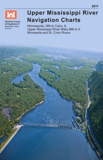 Upper Mississippi River, Mile 0-866
Lower Mississippi River
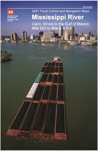 Lower Mississippi River, Mile 236-951
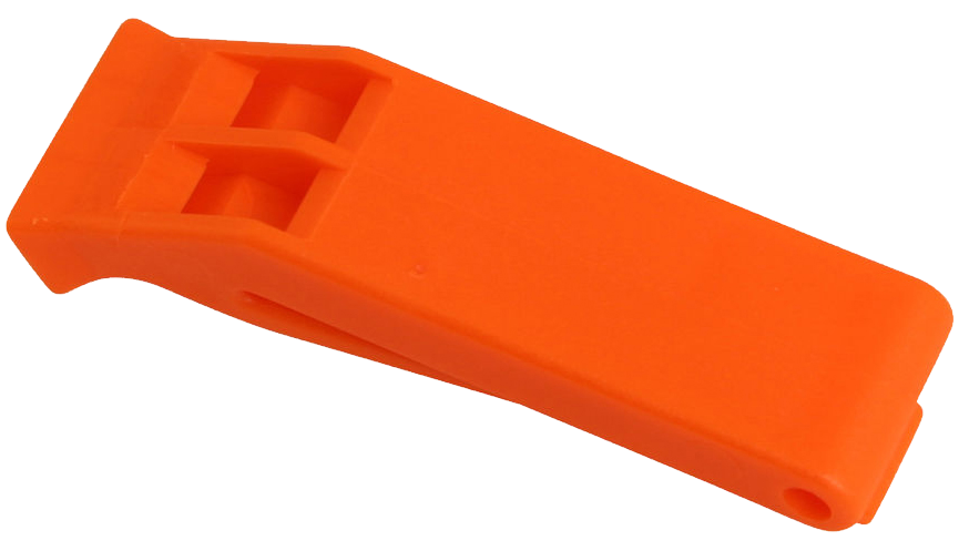 Resonating Signal Whistle
 Atchafalaya River 172 miles